John Muir Way - Day 1 Helensburgh to Strathblane
Well here we are again! I’m hoping there will be less police and less people calling me the C word on Twitter than last March’s escapades on the Isle of Man! With the usual few days holiday left to take in March, the excellent book “Bikepacking Scotland” by Markus Stitz provided the inspiration for this shortish trip, following the John Muir way coast to coast along the central belt of Scotland from Helensburgh in the West to Dunbar in the East. Mainly on gravel tracks, single tracks and quiet roads with apparently no real technical stuff (we’ll come to that!!!) and with the weather looking cold but dry, the route was planned, hostels and cheap hotels were booked, Jean had a service and all too soon I was scraping the thick ice of Jean’s windows, loading her up and settling in for the 270 miles up to Helensburgh.

Obviously I was meant to be away for 6am, but some epic cocking about which entailed waking the whole house up as I dropped things, slammed doors then revved the nuts of Jean to get her started meant that is was cracking on for 7.30 with me frantically trying to use the cloth to see through the fogged up windscreen (modern cars are better on cold mornings, I’ll give you that!) it was out of the village and soon she was sitting at 65mph on the M1 purring up to Scotland. A stop at Scotch corner for fuel (me!) and then Annandale water near Moffat for fuel (Jean!) and the 6 hour journey was done, a brief misfire around Carlisle (just a bit of bad fuel I think) slightly panicking me and the torrential rain in the borders the only real things to disturb our progress. Just before 2pm we were pulling along the fabulous sea front at Helensburgh, with the beautiful Clyde in the distance reminding me of my beautiful wife!


Bike out the car and all the bags on, just time for a quick photo of Gare Loch and the Clyde and to the start point. I obviously knew that I’d have to do some cycling today to get the trip done in 2 1/2 days so although the first leg I was doing would be the hardest and hilliest of the trip, it was “only” 25 miles. Even though I was a couple of hours later than I planned, I had 3 1/2 hours of daylight to do the miles, that’ll be an absolute doddle I thought to myself…(why do I do this?! This constantly over estimating my abilities…🤣) the climbing started immediately as the route climbed up to Charles Rennie Mackintosh’s famous Hill House, anddd I had a rear wheel puncture! I mean even for me 0.6 miles into a trip is a record! Off came all the bags and I had to empty the whole frame bag to find the tools and pump. It was a small piece of glass so dug that out, changed the tube and all reassembled but it had taken me a good 20 minutes, I was covered in chain lube, I’d squashed my sandwiches…


Anyway, back to the climbing and a bit of single track at the top led to an excellent bike path alongside the A818 and I was soon dropping down to take the right hand turn up the fire track into Loch Lomond and the Trossachs national park. This was the big climb of the day, rising over 800 feet in a little over a mile and a half and it was tough, really tough, although the views near the top of Loch Lomand were stunning. Stopping to take my jacket off at the top, it looked like a very sketchy descent back down to the valley. It was and then it all of a sudden huge fallen fir trees were across the path. I tried to do a recky to see if I could get past, but proceed to get filthy in ankle deep mud and nearly fall down a gully. Bollocks. No phone signal natch, so I made my way back up the sketchy descent I’d just come down back to the top. There were other paths at the top, so I took the third option down an even sketchier descent to be met a mile later by a dead end. Ahhhhhhh! With no phone signal, I had no option to go back the way I came, down the 800 foot climb back to the A818. It had taken me an hour of fannying about to get back where I’d started and I was a grand total of 4 miles in to the day and it had just ticked past 4pm…

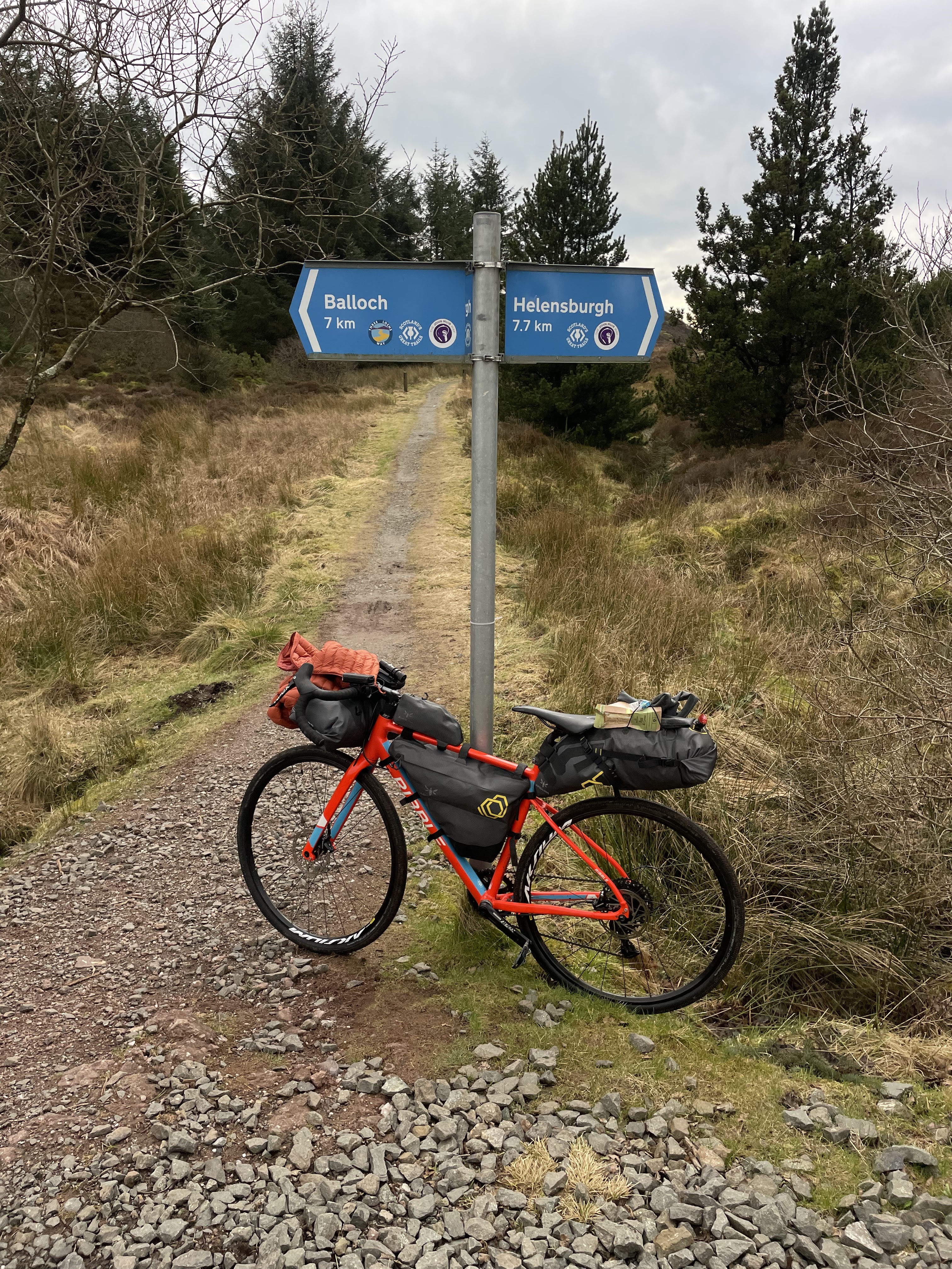


Anyway the bike track was still good on the A818 and I made up a bit of time as it was pretty much downhill or flat even though it was going to add a good 7 miles onto the days total and after half an hour I was passing the lovely Duck Bay and rolling into Balloch. I’d finally got a phone signal so just went on the John Muir way website to see where I’d have to rejoin at Balloch…There was a big exclamation mark right where the problem was on Gouk hill. “Due to recent storms” it started…Ahhhhhhh!! Why hadn’t I checked before I set off?! Too late now! But the sun had come out, Balloch was lovely and I had the lovely climb up to the castle through the park with stunning views of Loch Lomand and I was on holiday! Climbing out of the park, the sun was fully out now and as we had progressed to lovely quiet metalled roads, the miles ticked by and as the Garmin directed me off the road and onto a single track I’d done 20 miles, only 12 to go it was 5.30 still a bit of light no problem!


Problem, huge problem. The single track was brutal. Steep, rocky and slippy and it was going on for miles. I’m alright off road, but I’m no mountain biker and I was off and walking for the steeper sections both up and down. It said in the book that it wasn’t that technical so this was completely unexpected. It took me an hour to do 4 miles and it was now getting dark and I was literally in the middle of nowhere. As always, sometimes it’s good to just sit down, take stock and eat! Having my mashed egg and cress sandwiches, I had 8 miles to go, it was 6.30. Reasoning I could walk it in 2 and half hours I set off again. We were now going round a little lake but the gradient and surface were horrendous. I was struggling pushing the bike up some of the track and it was so rocky I was losing my footing. I mean it was all very pretty an all, but I’d had enough. Still it went on and it was now dark. Finally the track widened out onto a fire road but I was now at over 1000 feet. Setting the light to its brightest setting I was able to make some sort of speed as I descended at a mighty 8mph (about what Dec does on a normal road…😉 you’d be disappointed if he didn’t make an appearance I know…) and the miles ticked by. Finally only 3 miles to go, but then it took me up another horrible wet, muddy rocky single track. It must have been 1 in 3 at least, so off the bike again and up we went for what seemed like ages. Finally out the top and it was only a horrible rocky descent into Strathblane, rocking up at Kirkhouse Inn at 7.45.


It had taken me 5 hours 45 mins to do 33 miles! I had an awful feeling I’d bitten off more than I could chew. I had 65 miles to do tomorrow, and 60 the day after. At today’s pace it would be taking me 11 hours both days. Dragging myself off the bike, at least they had somewhere to put the bike, and a shower and some food and I felt much better. As I was having food, I just checked the website again to see if there was any other closures tomorrow. While I was there, something on the map caught my eye. Why were there different coloured lines and routes for some of the bits I’ve done today? Looking at the key, I’d put the walking route into the Garmin, not the cycling route…Ahhhhhhhhhh!!! No wonder it was so hard!!! Honestly I’m amazed I’m let out without adult supervision sometimes, god only knows what I’d do without Andrea looking after me! Anyway, it’s made me feel a bit better about the coming days, if I can get over that, I can get over anything…☺️


Comments
Post a Comment